Northern administrative district of Rubí with suburban residential areas and green spaces.
Administrative district in Rubí featuring industrial zones and growing residential developments.
Southern district emphasizing economic activity and connectivity near transport hubs.
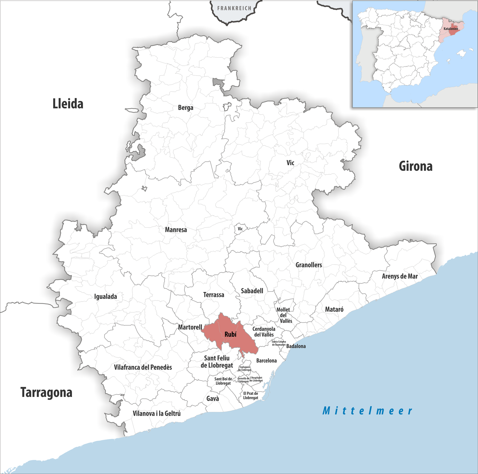
One of the four administrative districts of Rubí, located in the central area with a mix of residential and commercial zones.
Main residential area serving as a dormitory district for Barcelona commuters with good transport connections
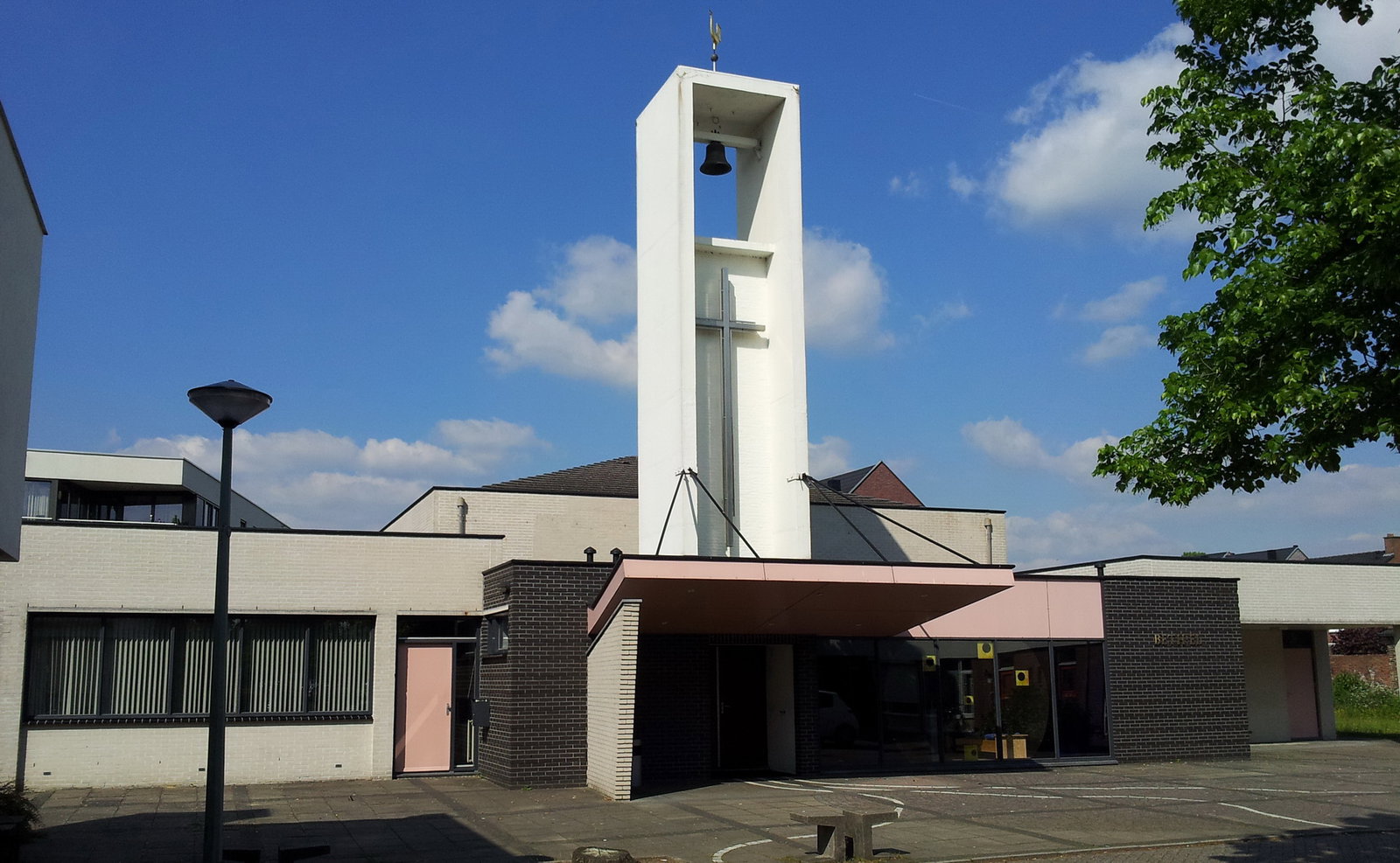
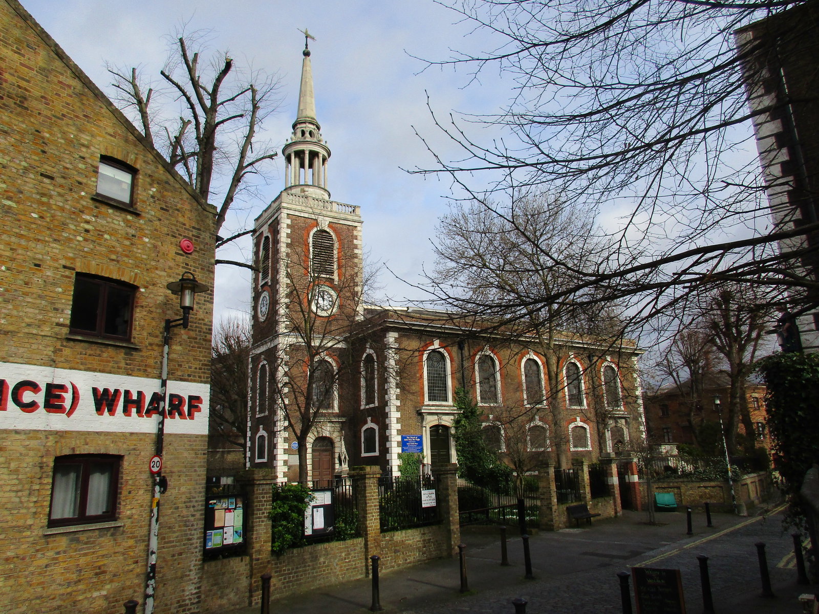
Historic district centered around the medieval Church of San Pedro, representing Rubí's religious and architectural heritage
Historic district featuring the iconic Cooperative Winery, representing Rubí's agricultural and cultural heritage
Diversity and integration district serving Rubí's multicultural population of over 100 nationalities, with community services and cultural centers supporting new citizens and social cohesion
Education and healthcare district featuring primary schools, early childhood education centers with special education programs, and multiple health centers (CAP Mútua Rubí, CAP Anton de Borja, CAP Sant Genís)
Sports and leisure district featuring EU Rubí football club facilities and various sports infrastructure, reflecting Rubí's wide sports tradition particularly in football
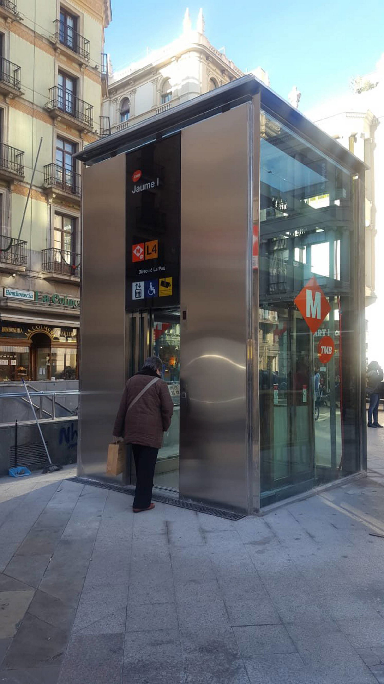
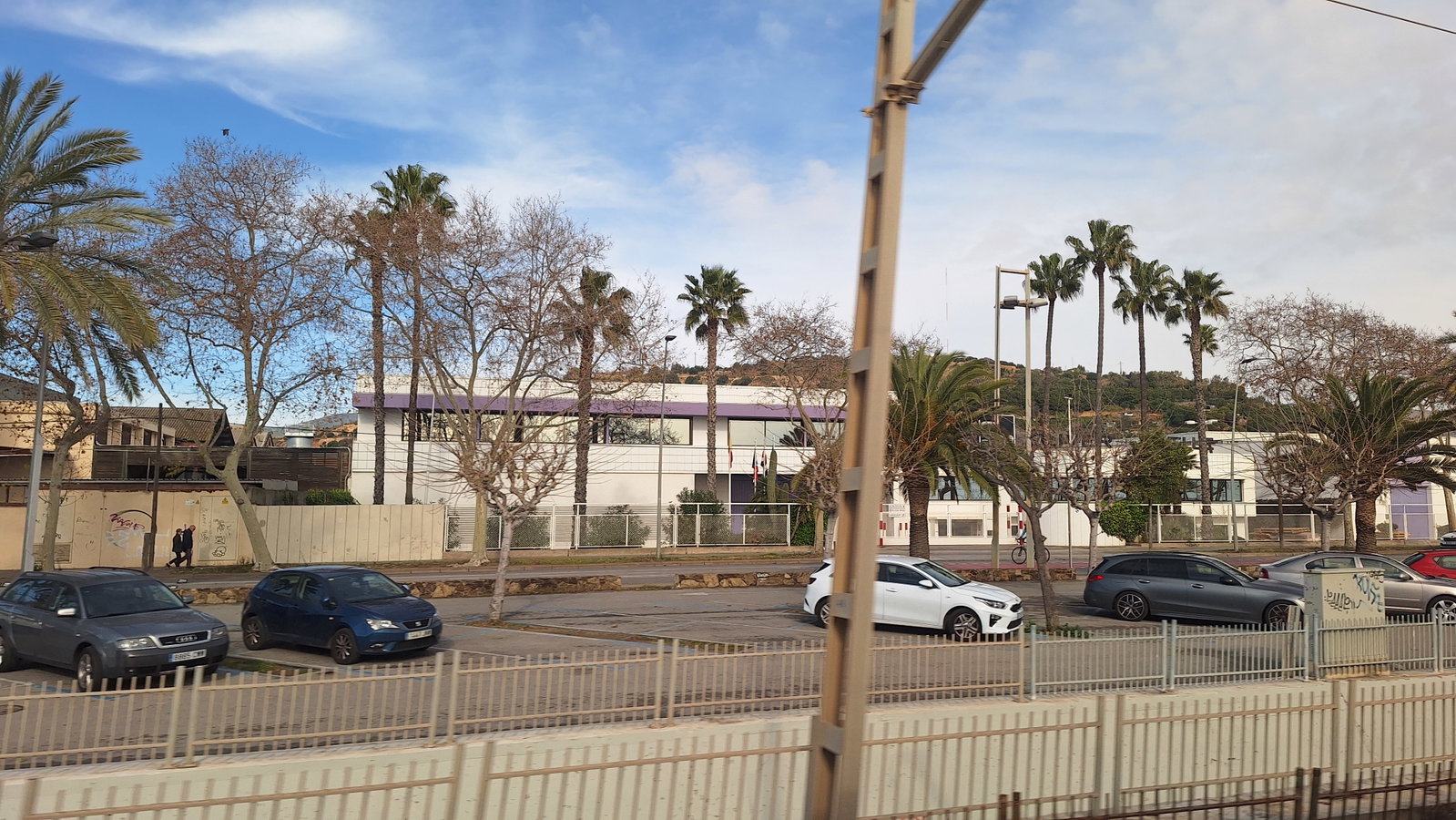
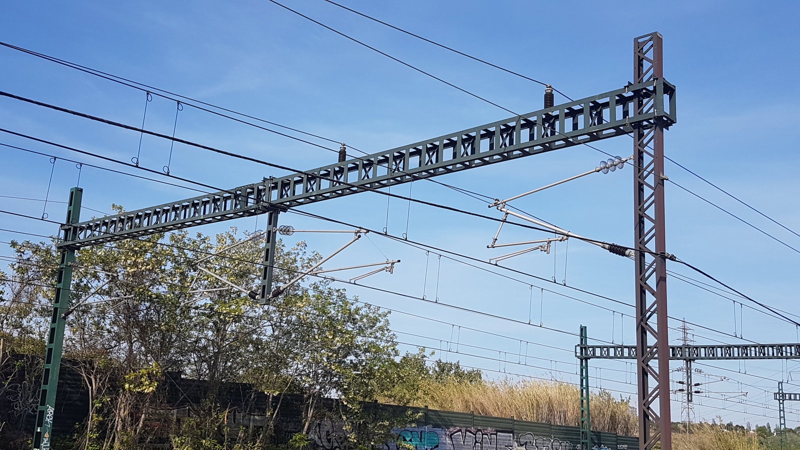
Transportation and mobility hub district centered around Rubí's train station with connections to Barcelona via S5 line and urban bus network with 6 lines connecting neighborhoods
Environmentally-focused district promoting the Rubí Brilla project since 2011, featuring renewable energy initiatives and green spaces
District featuring multiple healthcare centers (CAP facilities) and educational institutions including special education schools
Major economic hub hosting over 3,000 companies across eleven economic activity estates, representing Rubí's industrial heritage and modern innovation
One of eleven economic activity estates in Rubí, hosting modern industrial and commercial facilities representing contemporary economic development
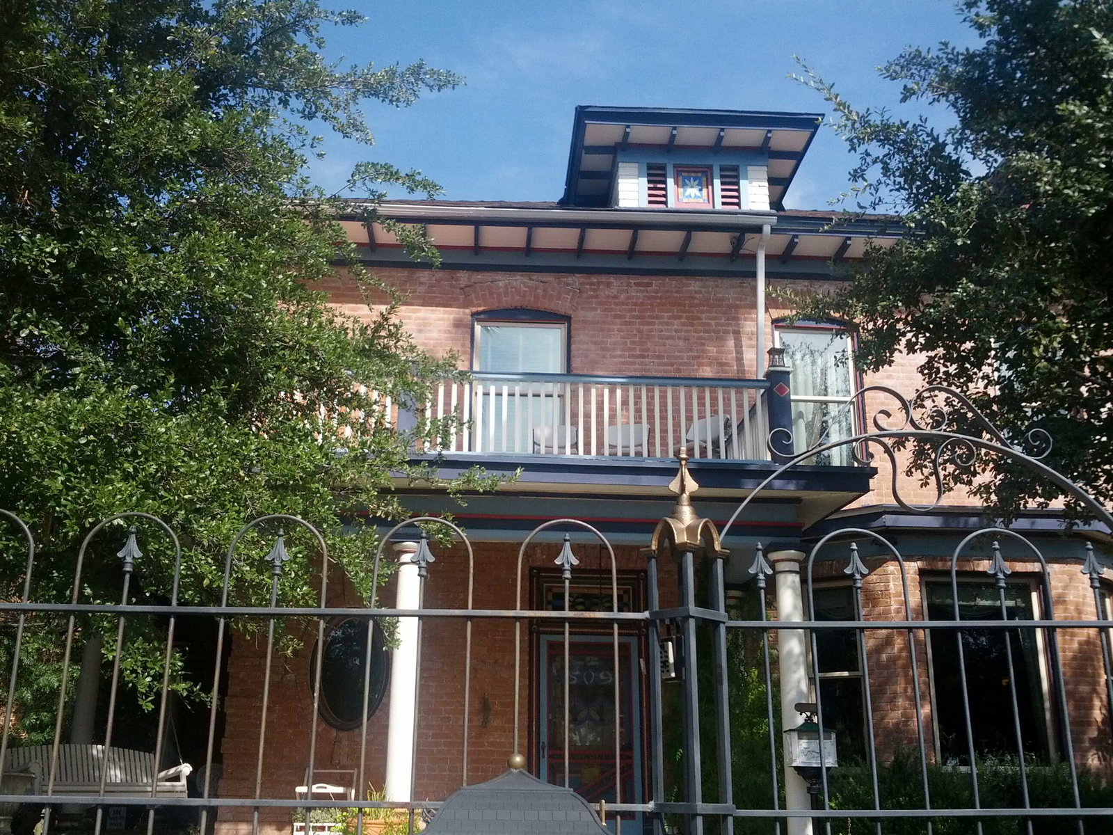
Residential district featuring famous modernist houses built between 1910 and 1925, showcasing Catalan architectural heritage
Northern industrial estate area hosting multiple companies and economic activity centers, part of Rubí's industrial fabric with over 3,000 companies across eleven economic activity estates
Northern residential area providing housing for Rubí's population, characterized as a dormitory city area with residential development
Southern residential district providing housing and community services, part of Rubí's residential expansion with access to urban amenities
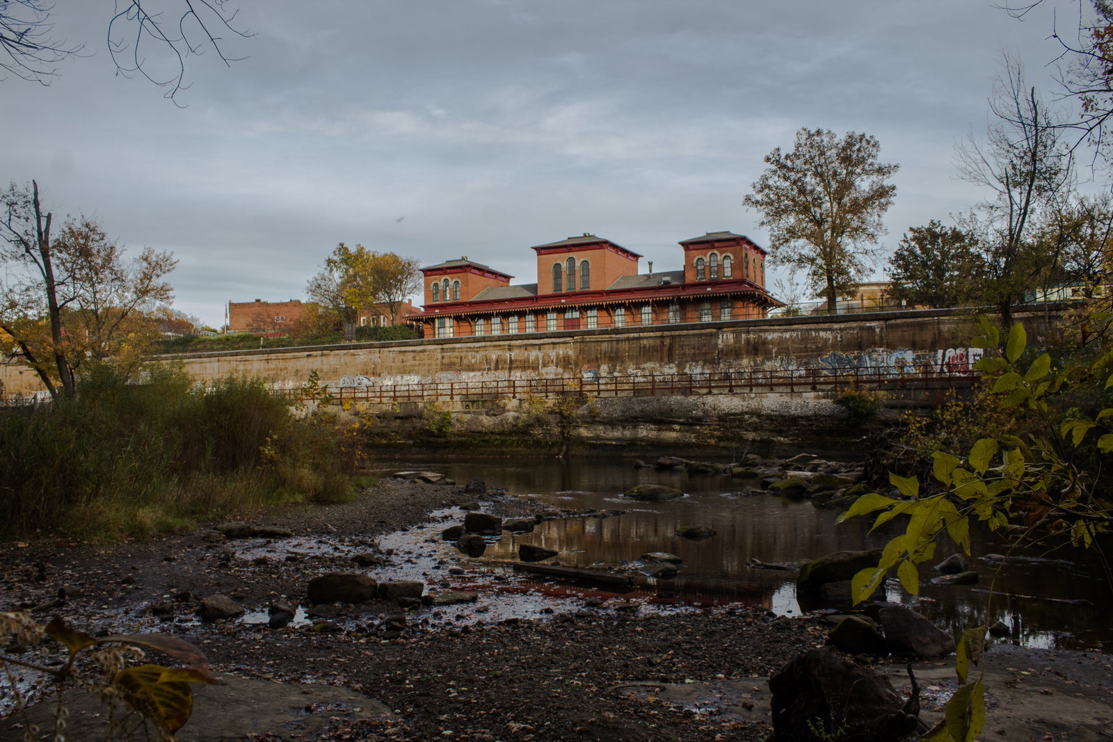
District named after the historic red river (Riera de Rubí) that gave Rubí its name from the Latin 'Rivo Rubeo', featuring water-adjacent areas
Historic district centered around Rubí Castle, an emblematic landmark housing the urban and municipal museum, located on a hill overlooking the city
Sustainability and green space district focused on environmental initiatives including the Rubí Brilla project since 2011, promoting energy efficiency and renewable energies across the city
District with strong sports tradition, home to EU Rubí football club and various sports facilities serving the community
Strategic district centered around main transportation infrastructure including railway stations and bus lines connecting to Barcelona
District centered around major transportation infrastructure including train stations and bus lines connecting Rubí to Barcelona and surrounding municipalities
Historic district home to the Vallhonrat Ethnological Museum, showcasing the cultural heritage and traditions of Rubí
The historic center and main district of Rubí, featuring the iconic Rubí Castle and traditional architecture
Commercial zone featuring retail, shopping, and business services distributed throughout the district to serve the local population