This content was generated using artificial intelligence based on publicly available information. It is provided for general informational purposes only and does not constitute legal, tax, immigration, or professional advice. Information may be incomplete or outdated. Always verify with official sources before making decisions.
Data Source: Safety, crime, and quality metrics are sourced from Numbeo, a crowd-sourced global database of reported data.
All scores are relative comparisons on a 0-100 scale, where 50 = global average. Higher scores mean better than average, lower scores mean worse than average.
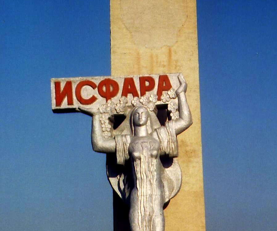
Isfara offers a quiet, grounded expat life shaped by regional rhythms and a close-knit community feel, rare in today’s fast-moving world. Daily life moves at a human pace, with affordable housing, reliable public transport, and access to healthcare that meets basic needs—practical advantages for families seeking stability. Safety is generally good, and locals are respectful, though cultural integration requires patience. The trade-off? Limited Western amenities and few established expat networks mean self-reliance matters. If you value authenticity over convenience and don’t need constant connectivity, Isfara provides a grounded alternative to busier posts—just be prepared to adapt.
Population
274,000
Area
89 km²
Density
3,071 per km²
Founded
-
Language
Russian, Tajik
Distance to Coast
1771 km
Districts & Neighborhoods in Isfara
Loading districts…
Climate & Weather in Isfara
Isfara has a cold semi-arid climate (Köppen BWk) with hot, dry summers and cold winters, and it sits in a dry continental setting in the Fergana Valley region. Long-term averages show a warmest-month temperature near 25-27°C, a coldest-month temperature around -2.7 to -3°C, and annual precipitation typically in the 200-550 mm range depending on location and elevation. The current overcast, moderately humid weather is consistent with seasonal variability, but it does not represent the city’s long-term climate normal.
Summer Average
27°C
Winter Average
0°C
Climate Type
Cold semi-arid
Rainy Days
74
Sunny Days
280
Humidity
50%
Spring
March - May
12-22°C
Spring is usually mild and is often the wettest part of the year, with comfortable temperatures and variable cloud cover. This is one of the most pleasant seasons for outdoor activities.
Moderate rainfall
Summer
June - August
23-31°C
Summer is hot and mostly dry, with clear skies common and afternoon heat building through July and August. Valley locations are warm but usually remain within the city’s continental range.
Low rainfall
Autumn
September - November
10-20°C
Autumn brings cooler, more comfortable weather and a gradual return of more frequent precipitation. Temperatures fall steadily toward winter, especially by late November.
Moderate rainfall
Winter
December - February
-5-5°C
Winter is cold, with frequent freezing temperatures and occasional snow, especially in nearby higher terrain. January is typically the coldest month, averaging around -2.7 to -3°C.
Moderate rainfall
Loading Weather...
Air Quality
Isfara
Advantages
Isfara
Affordable cost of living
Strong community bonds
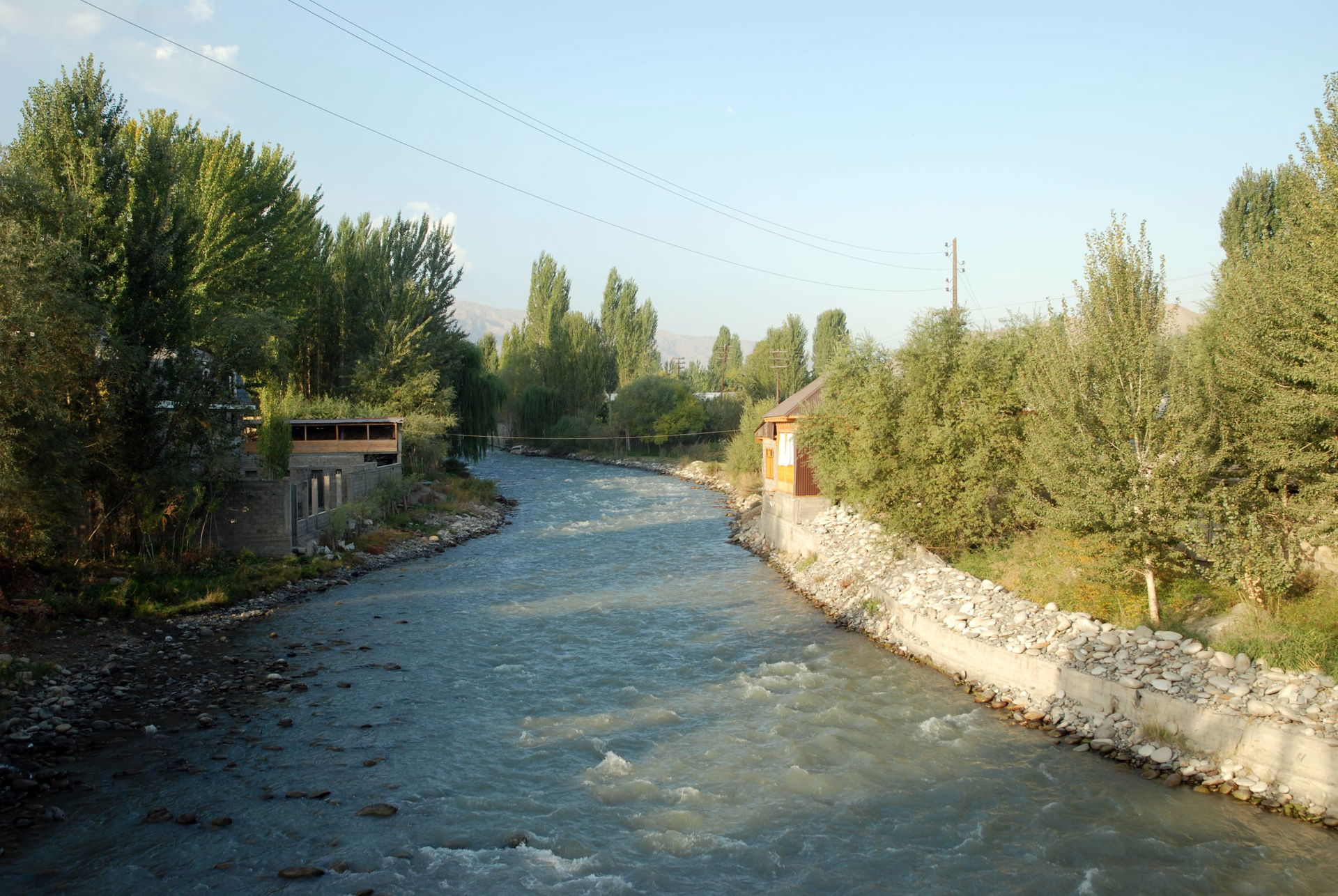
Mountain scenery access
Growing local markets
Family-friendly atmosphere
Disadvantages
Isfara
Limited higher education options
Few economic opportunities
Minimal entertainment venues
Basic infrastructure development
Restricted business ecosystem
Safety & Security in Isfara
Overall Safety Score
Includes resilience and environmental factors
Moderate
53
/100
Tajikistan Avg
52
Asia Avg
57
Worldwide Avg
56
Crime & Safety Metrics
Thermometer compares Isfara to Tajikistan averages using different marker styles.Compare:
Isfara
Tajikistan Average
No city-specific data available — showing Tajikistan country averages instead.
Safety Index
0510
Moderate
Safety from Crime
0510
Moderate
Safe Alone (Day)
0510
Moderate
Safe Alone (Night)
0510
Low
Safety from Violent Crime
0510
Moderate
Safety from Property Crime
0510
Moderate
Environmental & Natural Hazard Risks
Resilience Score: 99/100
No data for Isfara — showing hazard indicators from nearby Konibodom (~26 km).